We Provide Useful Land Survey Links and Terminology
C. Mistric Surveyors, Inc., in Baton Rouge, LA, is a full-service land surveying firm serving commercial, industrial, and residential clients throughout Louisiana. We have been a family-owned and operated company since 1968, and we are experienced and knowledgeable about the industry. We have provided useful links and terminology to help you better understand it.
Land Survey Links
- FEMA
- FEMA Map Search
- U.S. Geological Survey
- National Oceanic & Atmospheric Administration
- National Geodetic Survey
- East Baton Rouge Parish
- Ascension Parish
- City of Gonzales
- Louisiana Professional Engineering and Land Surveying Board
- Louisiana Society of Professional Surveyors
- LSU Agriculture Center
- Livingston Parish
- Parish Assessor Websites
Land Survey Terminology
ALTA/NSPS surveys:
These surveys are performed on commercial properties. They determine property lines, locate improvements, and identify easements, utilities, Schedule B exceptions, and many other conditions affecting the property. They show the property’s boundaries, buildings, improvements, and encroachments. ALTA/NSPS surveys are the most comprehensive of all surveys.
As-built survey:
A survey conducted several times during a construction project to verify, for local and state boards (USA), that the work authorized was completed to the specifications set on the plot or site plan. This usually entails a complete survey of the site to confirm that the structures, utilities, and roadways proposed were built in the proper locations authorized in the construction plans.
Builder’s packages:
This economical solution provides all the land surveys and certificates you need for city permits to construct a new home or commercial building. Typically, three trips are made to the property to perform the work required, which includes the following:
- First phase: A property line survey staking the corners of the property is performed, and a Proposed Certificate of Elevation is submitted.
- Second phase: A slab survey is done after the slab has been poured or the floor has been added. If required by the parish, a building under construction certificate is issued, and a form survey (locating the form on the lot) is prepared.
- Third phase: Upon completion of the building (when it is ready for occupancy and equipment is installed), a FEMA Final Elevation Certificate is issued, along with any As-Built requirements.
Boundary surveys:
These surveys are also called property line surveys and, like the ALTA land surveys, show all boundaries, buildings, improvements, easements, and encroachments on a property. They also establish the actual property corners. Boundary surveys are typically performed to obtain building permits, resolve property disputes, and erect fences. If requested, easement lines may also be located with this type of survey.
Elevation certificate:
An elevation certificate requires us to transfer an elevation from a FEMA or HCFCD (Harris County Flood Control District) benchmark (a monument stamped with the elevation) to obtain your property’s actual ground and finished floor elevation at mean sea level. We start at the benchmark and survey all the way to the subject property, maintaining the elevation datum as we traverse. This information can then be compared to the base flood elevation in that area.
Geodetic survey:
A survey of a large area of land in which corrections are made to account for the earth’s curvature.
The Global Positioning System (GPS)
is a global navigation satellite system (GNSS) developed by the United States Department of Defense and managed by the United States Air Force 50th Space Wing. It is the only fully functional GNSS in the world, can be used freely by anyone, anywhere, and is often used by civilians for navigation purposes. It uses a constellation of between 24 and 32 medium Earth orbit satellites that transmit precise radio wave signals, which allow GPS receivers to determine their current location, time, and velocity.
Since it became fully operational on April 27, 1995, GPS has become a widely used aid to navigation worldwide and a valuable tool for map-making and land surveying.
Industrial plant layouts
involve establishing points for construction inside an industrial facility. It can also include arranging industrial, manufacturing, or processing plant equipment and rooms.
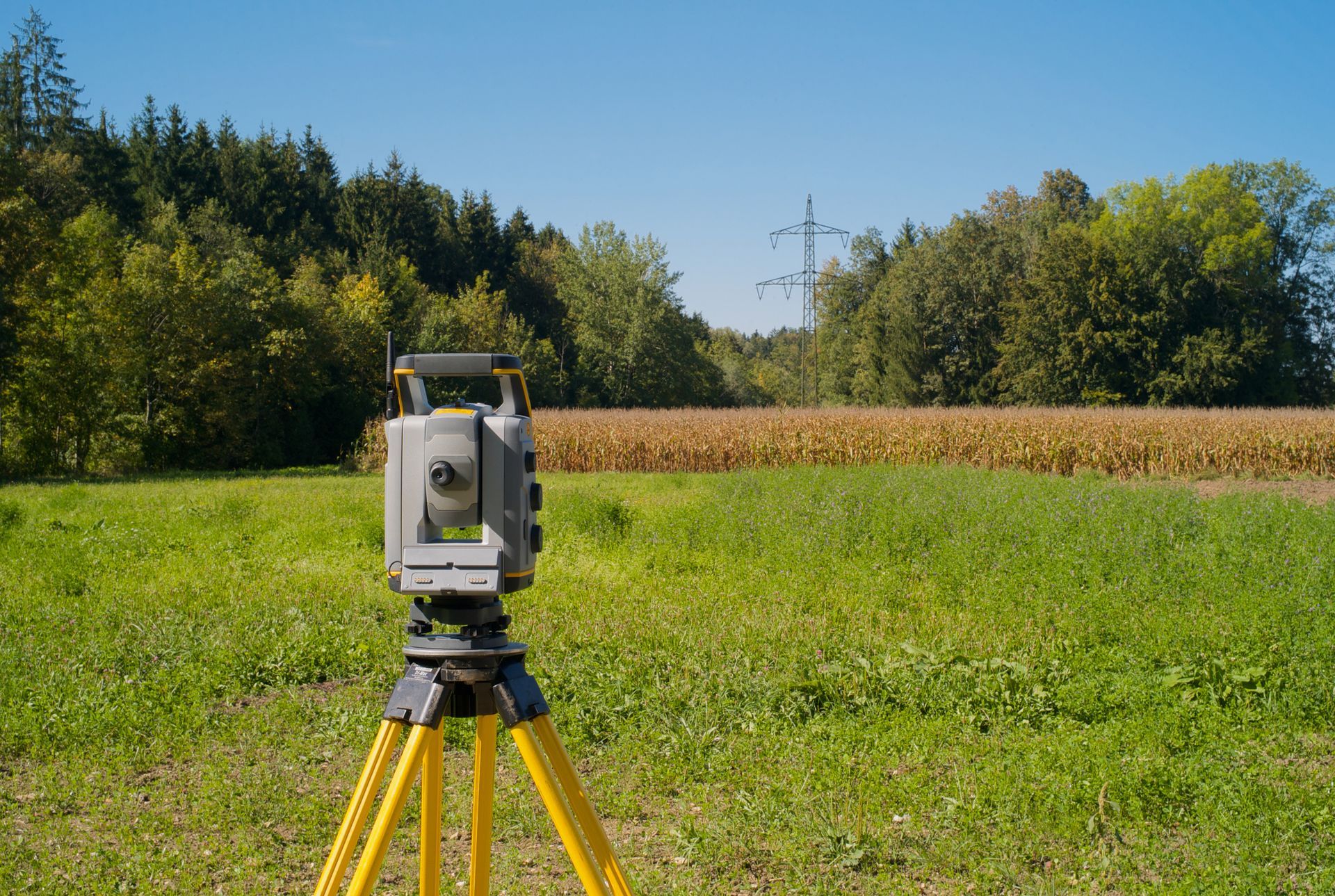
Land surveying
is the technique and science of accurately determining the terrestrial or three-dimensional space position of points and the distances and angles between them. These points are usually on the surface of the earth and are often used to establish land maps and boundaries for ownership or governmental purposes. To accomplish their objective, surveyors use elements of geometry, engineering, trigonometry, mathematics, physics, and law.
Lot surveys:
A survey that establishes boundaries and marks all property corners on the ground so they are easily visible. A plat drawing is prepared (unless otherwise specified) that shows the boundaries, setbacks, and easements of record.
No-work affidavit:
A surveyor inspects the property to ensure that no work has started and that no materials have been delivered to the site. The inspection must take place on the same day that the No-Work Affidavit Certificate is issued.
Photogrammetric control:
Established by photogrammetric methods, this control is distinguished from other controls established by ground methods.
Right-of-way survey:
A right-of-way is an easement that gives a person or entity the right to travel or trespass upon land that the person or entity does not own. It involves property ownership verification, obtaining right-of-entry, researching deeds, and creating a deed map.
Slab survey:
A survey that shows the form (proposed slab) as it lies on the property. It will verify that it is within the setbacks and does not infringe any easements.
Topographic survey:
A survey that measures the elevation of points on a particular piece of land and presents them as contour lines on a plot.
Wetland delineation survey:
A survey that establishes the location and size of a wetland for federal, state, and local regulations.
Call us at
225-292-3953 if you have any questions about the land surveying process or to schedule a free land survey quote.